The Location
Not Remote.
Deliberately Private.
Positioned at 3,100 feet elevation, with panoramic ridgeline views across layered mountain ranges. No nearby powerlines, structures, or neighboring development — only the horizon, and the comfort of knowing the 120-acre buffer cannot be taken away.
Saint Maries sits at the confluence of the Saint Maries River and the legendary Saint Joe River — one of the highest navigable rivers in the world. The surrounding basin draws from the same regional aquifer system (USGS regional map), the same geological formation that gives the estate its extraordinary spring and well resources.
The region is not undiscovered. It is simply earlier in its cycle. Buyers familiar with the Pacific Northwest, those relocating from more established markets such as California, Colorado, Washington, Montana & elsewhere, increasingly recognize what North Idaho’s quieter corridor offers: the same layered ridgelines, abundant water, old-growth forest, and four distinct seasons — without the crowding and intrusion of development or resort-driven premiums.
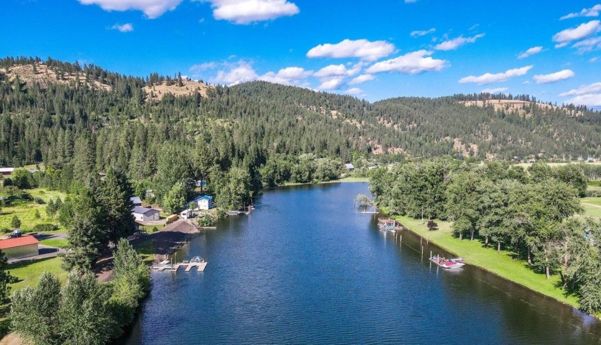 Saint Maries · Idaho · St. Joe River
The Location
Seclusion Without
Isolation.
Close enough for access. Far enough for privacy.
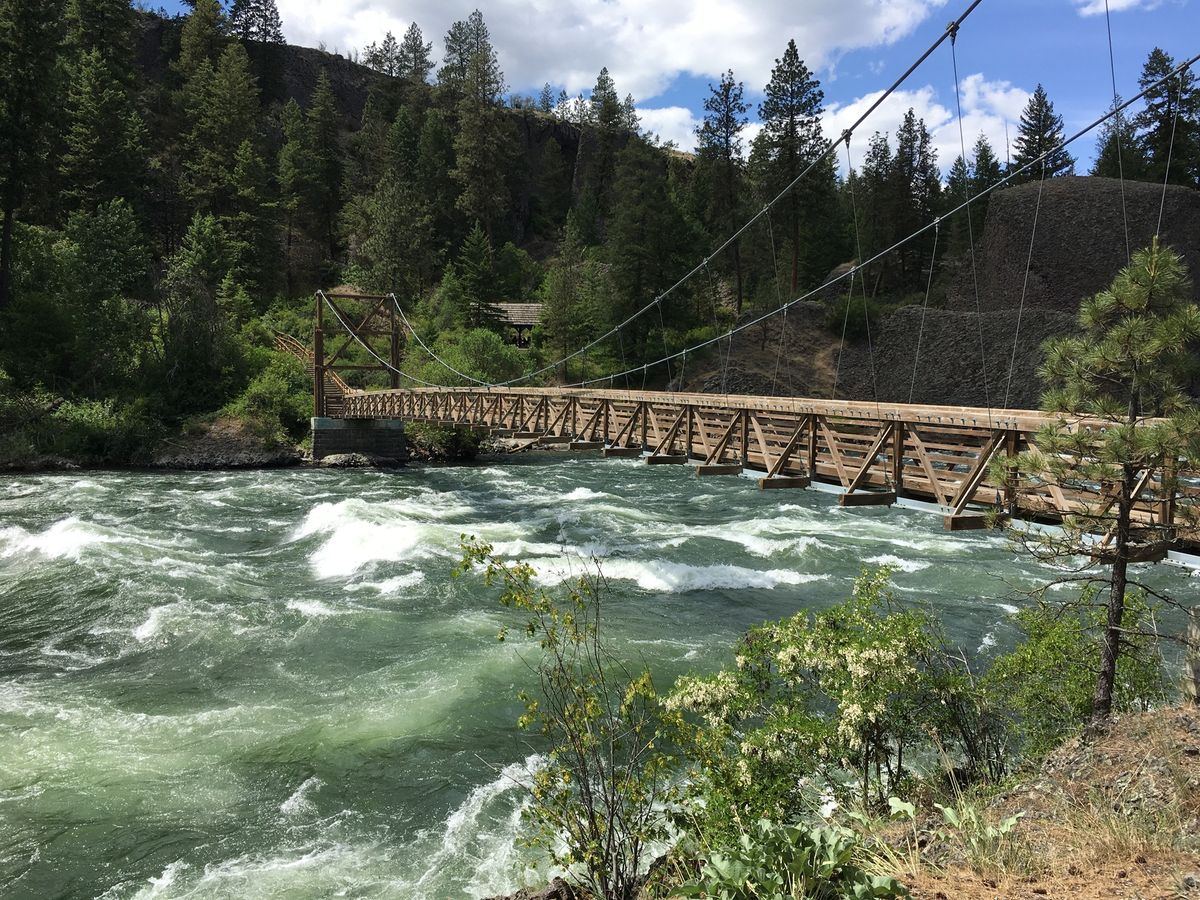 Spokane River · ~90 Minutes
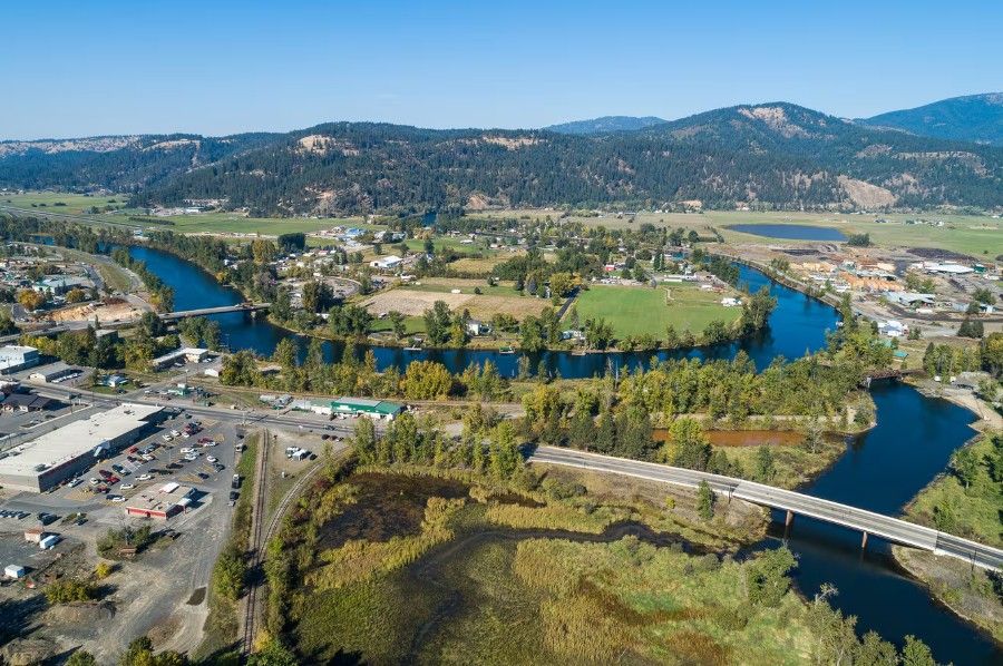
Saint Maries
Full-service town. Grocery, hardware, fuel. Emergency medical services and hospital within town.
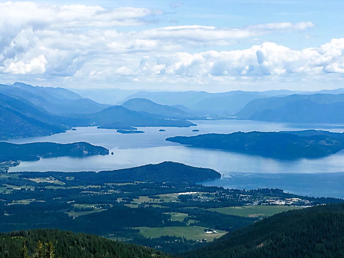
Coeur d’Alene
North Idaho’s premier resort city and lake destination. Boating, paddleboarding, jet skiing, dining, Costco, regional medical centers, and full commercial services.
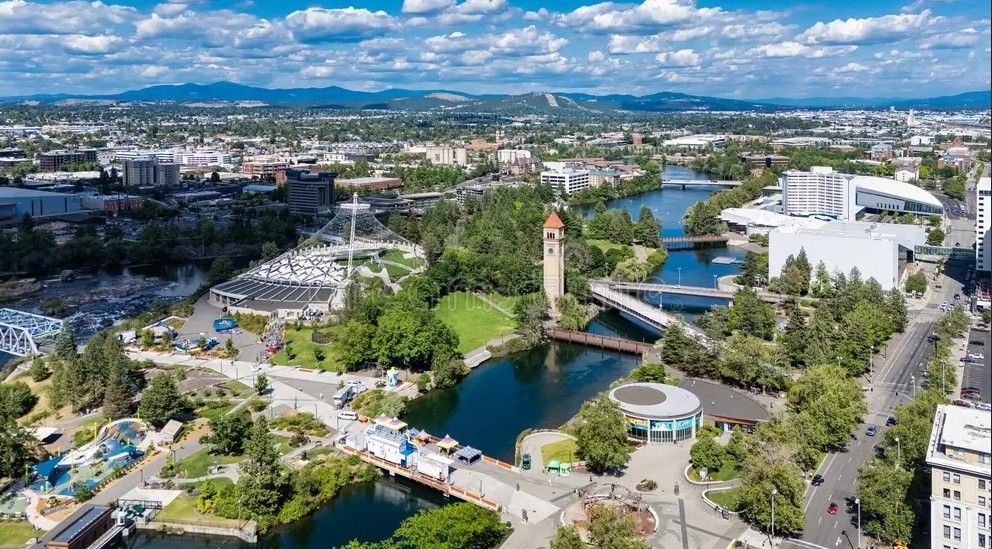
Spokane International Airport
Major commercial hub with direct connections to destinations nationwide. World-class whitewater, trails, and scenery running through the heart of Spokane — en route to the airport.
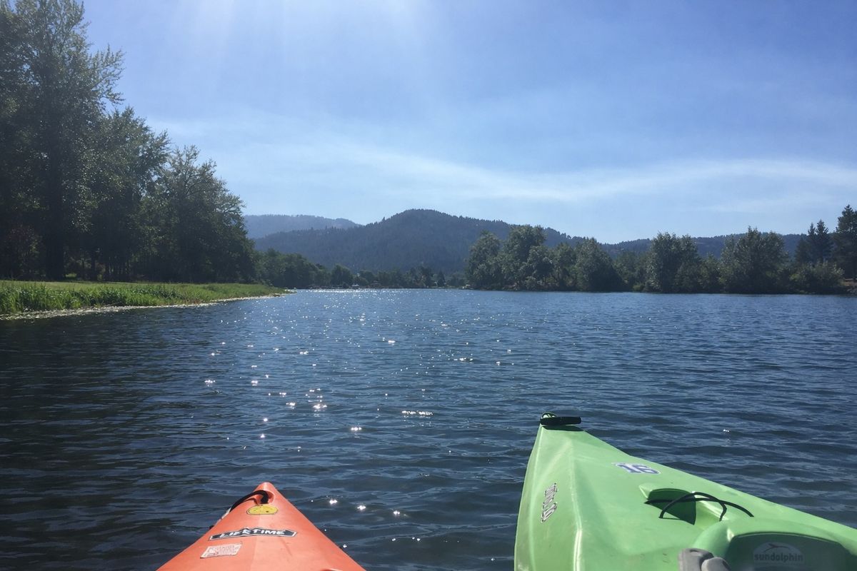
Idaho’s oldest state park. Lake Chatcolet, kayaking, boating, fishing, trails, old-growth ponderosa.
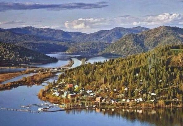
Fishing, boating, paddleboarding, jet skiing, and kayaking. One of the area’s most desirable waterfront lake communities.
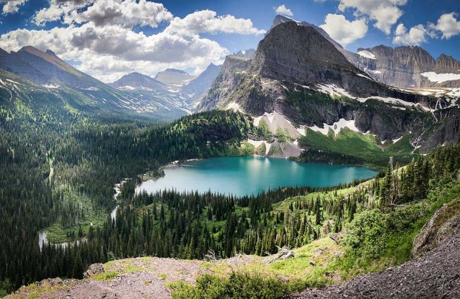
Montana’s crown jewel. A comfortable day trip from the estate.
World-class whitewater rafting through dramatic canyon country. One of the West’s most iconic river destinations.
The Setting
A Valley That Earns
Its Reputation Quietly.
The Saint Joe River corridor, Heyburn State Park, and the surrounding national forest create a natural boundary that defines the region’s character — no industrial corridors, no dense development, no intrusion on the view.
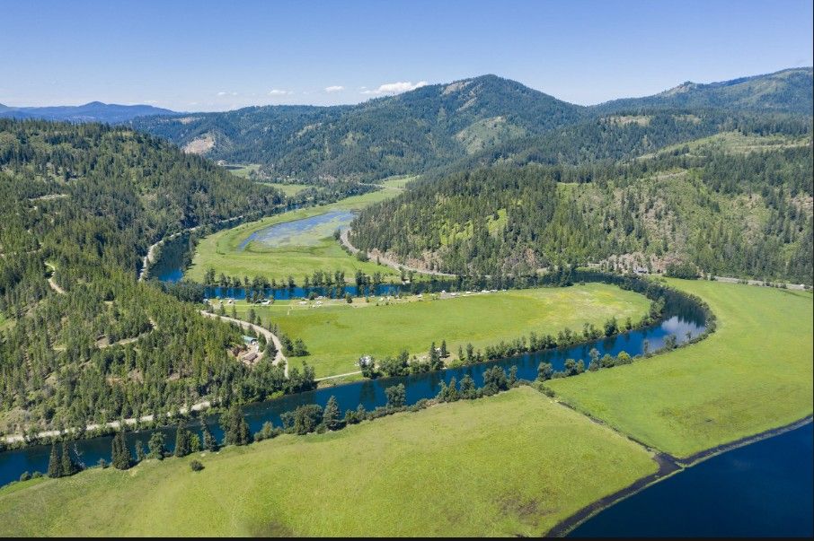 Saint Joe River · Benewah County
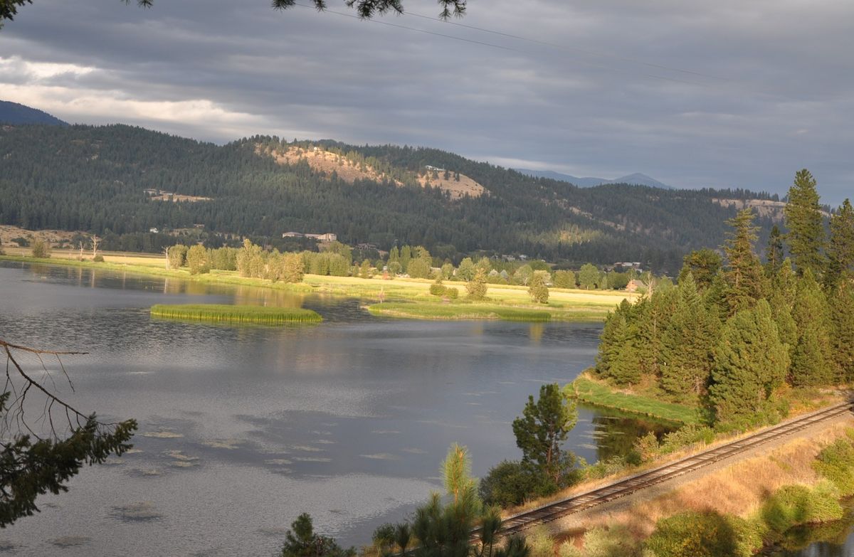 Highway 3 Corridor · 10 min to property
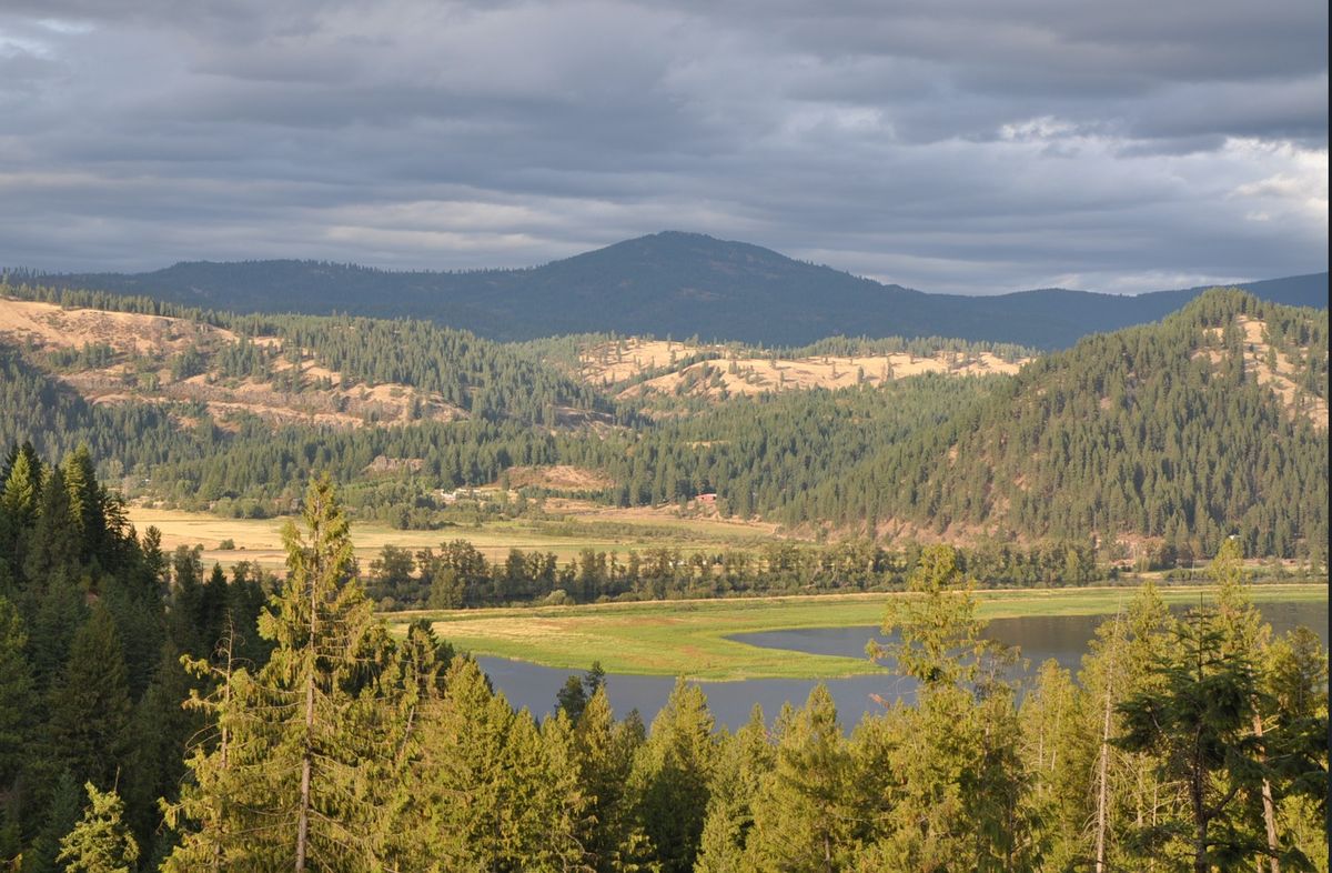 Benewah Creek Road · Primary access route
At the Turnoff
Heyburn State Park.
Idaho’s Oldest.
Heyburn State Park sits at the junction of Highway 3 and Benewah Creek Road marking the start of the approach to the estate. Idaho’s oldest state park encompasses over 5,700 acres of old-growth ponderosa pine, lake shoreline, and interconnected waterways.
- Lake Chatcolet, Benewah Lake, and Heyburn Lake access
- Boating, fishing, kayaking, and paddling corridors
- Old-growth ponderosa pine forest
- Hiking and equestrian trail network
- Historic lodge and campground facilities
- Wildlife observation — waterfowl, osprey, white-tailed deer
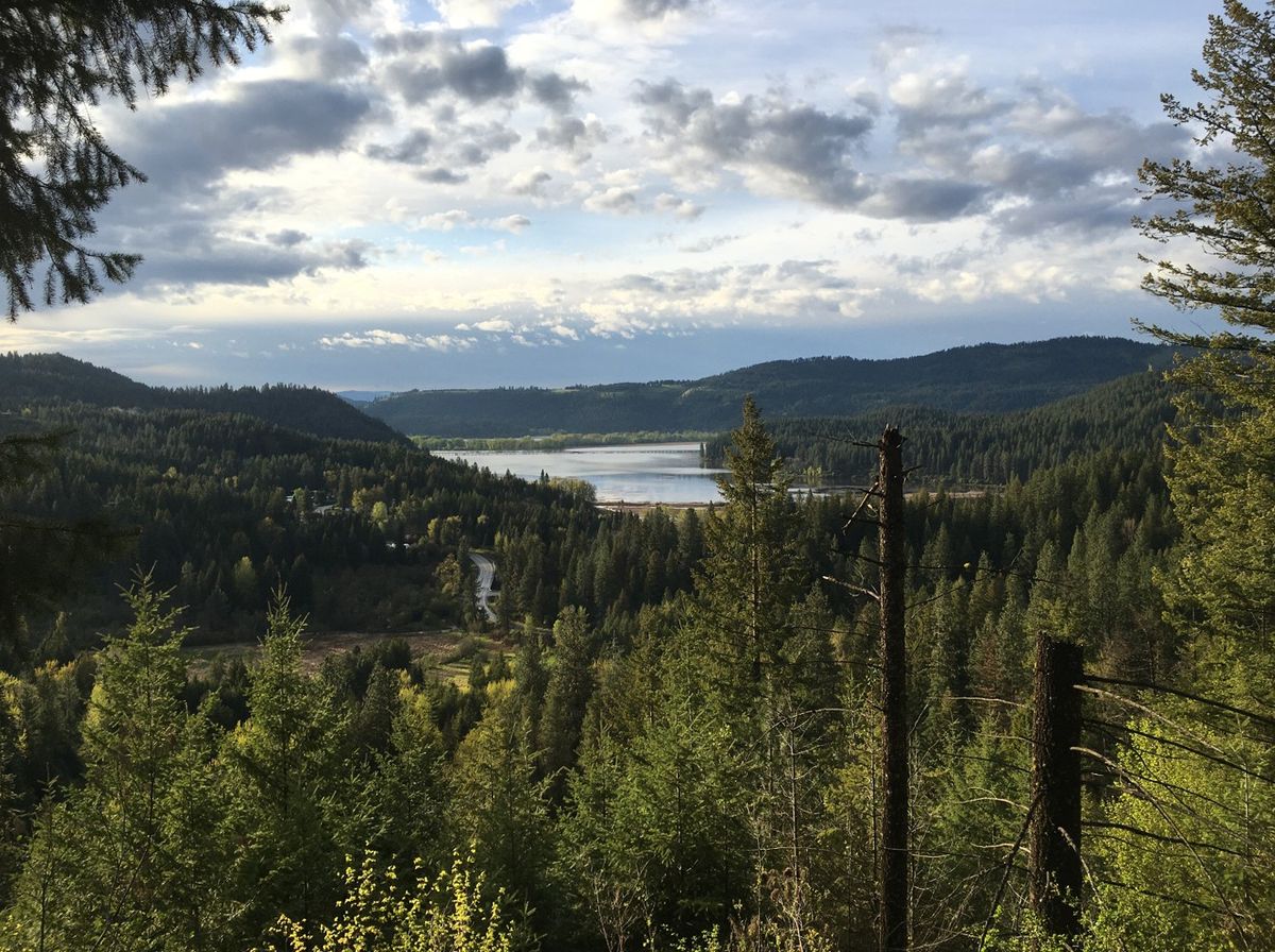 View from Highway 3 at Benewah Creek Road
The Case For This Place
Most places ask
for tradeoffs.
Most places ask for tradeoffs.
So, in most places you learn to live with them.
Checking for ticks, insects, and what comes with them.
Heat, humidity that wear you down.
Water in lakes and rivers that can’t be fully trusted because of what lives in it.
But when your eyes are on the ground, you lose the horizon.
And the effort accumulates. After a while you forget the unmet expectations and the low-grade stress of constant monitoring of children and pets.
That is, until you’re somewhere those tradeoffs don’t exist.
Where you’re finally able to look up.
Where you finally trust the great outdoors enough to take in its beauty.
The open sky and trees above you.
The ridgeline in front of you.
The horizon beyond it.
A place where the water is clear feet down and invites immersion.
A place where silence begins to surprisingly satisfy the soul and the pace of life begins to infuse a level of peace you hadn’t quite known.
These aren’t small differences.
They’re tailwinds. And tailwinds lift.
A place where the great outdoors finally feel like what you’d hoped…only better.
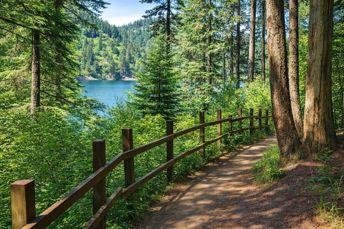
The Idaho Panhandle
Where the
Search Converges
Across the country, buyers are leaving for different reasons, but arriving at the same set of requirements.
In California, it’s rattlesnakes, cost of living and invasive regulation.
In Colorado and Montana, it’s crowding and premium pricing.
In Texas and Arizona, it’s the same snakes and unending heat without the relief seasons bring.
In the Southeast, it’s the same snakes, humidity, alligators and environmental fatigue.
Different starting points.
Same destination criteria.
Fewer people. Less regulation. Lower taxes.
A climate that lifts instead of drains, with pricing that hasn’t fully caught up. Where the water looks safe and is.
Few regions satisfy all of them at once. The Idaho Panhandle is one of them.
Water. Mountains. Open spaces. All without the premium…yet.
Not because it’s undiscovered but because it’s early in the cycle.
Growth always comes first. Pricing always follows.
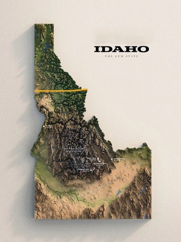
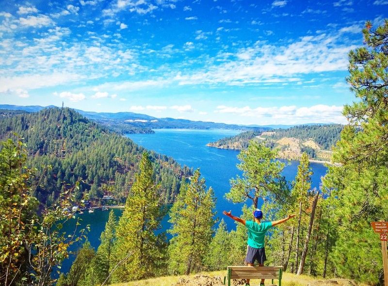
Views that match British Columbia and the Pacific Northwest — with twice the annual sun.
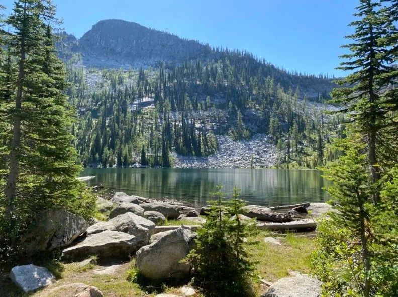
Swimmable. Clear. No algae, no warnings — what Southeast water rarely is.
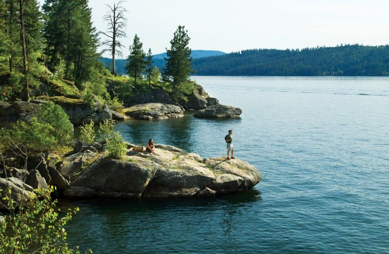
Terrain and scale that rivals Montana, Colorado, and the Canadian Rockies.
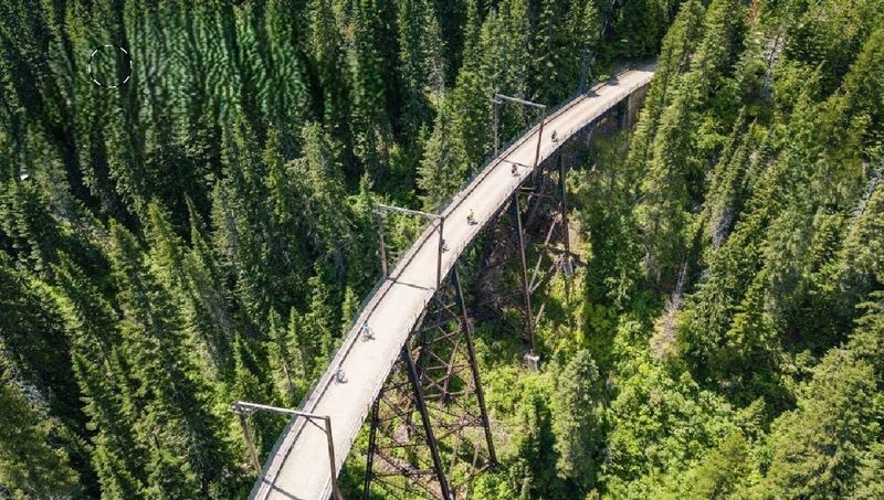
Trail infrastructure that rivals the Columbia River Gorge. Without the crowds.
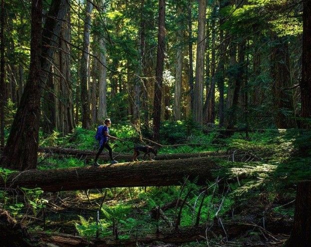
Seattle’s forests. Southern California’s low humidity. No tradeoffs. Both are here.
Regional Water
A Basin Defined
By Its Water.
From the St. Joe River and the St. Maries River in St. Maries to Lake Coeur d’Alene and the Spokane River — the same basin shapes the region’s character. And the estate draws from the very same regional aquifer system (USGS regional map).
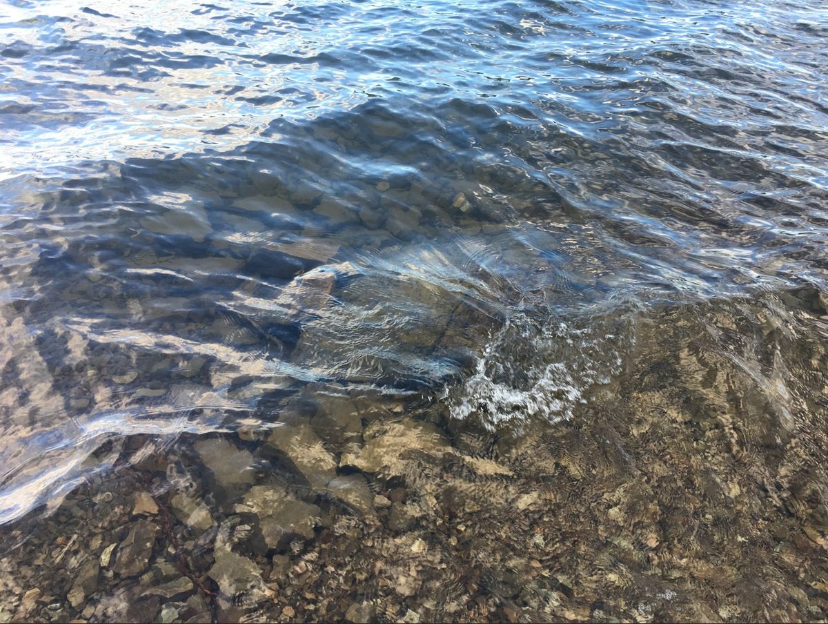 Regional Water Clarity · Lake Coeur d’Alene
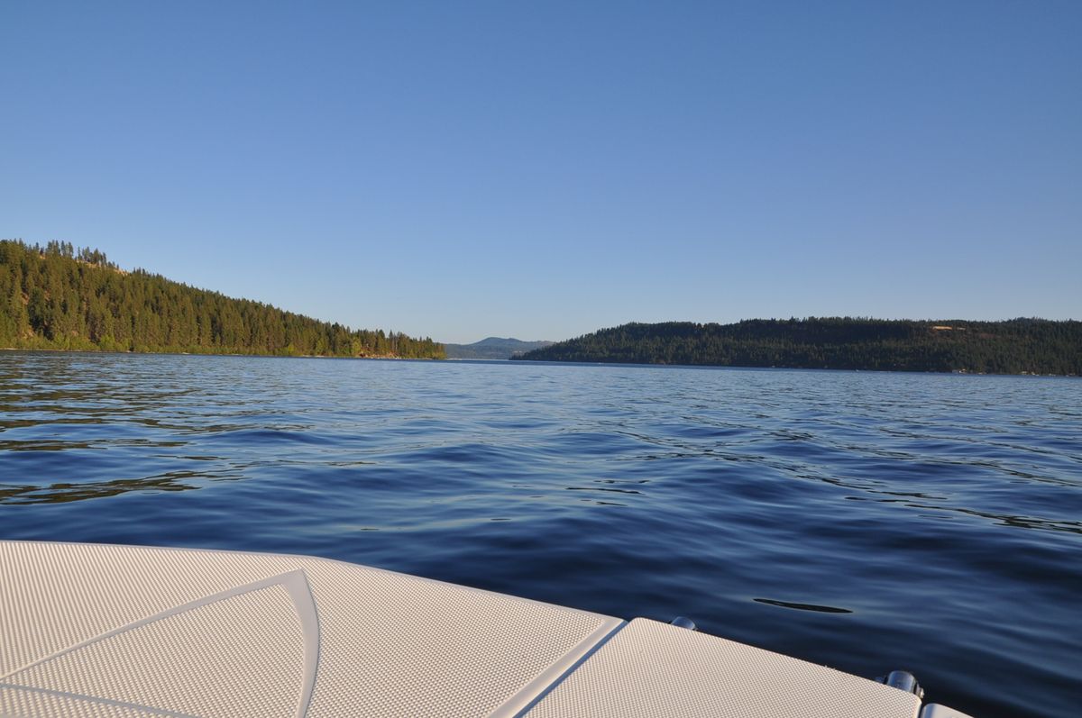 On the Water · Lake Coeur d’Alene
The Approach
The Drive Tells You
What the Address Means.
The route from Saint Maries is part of what gives this property its character. Along Benewah Creek Road, the landscape begins to change. Benewah Creek runs alongside the road. Horses graze open pasture. Scottish Highland cattle and Angus appear in the fields. Deer are common here, especially near feeding times. Elk and moose also move through the corridor. The estate itself contains a decades-long elk migration path. Heyburn State Park marks the beginning of the approach.
What the address promises begins long before. By the time you arrive at the turnoff, the separation already feels established.
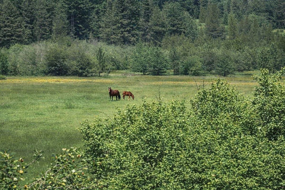 Horses · Benewah Creek Road
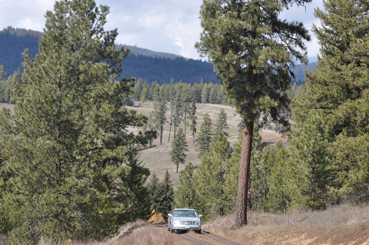 Private Access Road Entry · Benewah Creek Road turnoff
Highway 3 South from Saint Maries
20-minute drive. Benewah Creek valley opens. Heyburn State Park visible at the junction turnoff.
Benewah Creek Road
Pastoral corridor. Creek runs alongside. Horses, Angus cattle, Scottish Highland cows, open pasture, old-growth stands. Civilization has disappeared.
The Ridgeline
Panoramic views, open sky across layered mountain ranges. The horizon arrives in its raw beauty. Unexpected but welcomed.
Private Access Road — The Last 2 Miles
The estate’s own terrain. A controlled ascent through forest and silence toward the ridgeline at 3,100 feet. What follows is yours alone.
The Last Two Miles
The Last 2 Miles.
It’s Why The Views Exist.
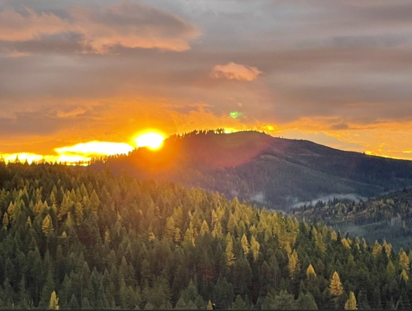 Fall · 2-mile private access road · 3,100 ft
Privacy here begins on the way in and deepens as the road climbs.
The ascent gives the estate its separation.
It protects the ridgeline. It preserves the views.
The climb is why the views exist.
The distance is why the privacy holds.
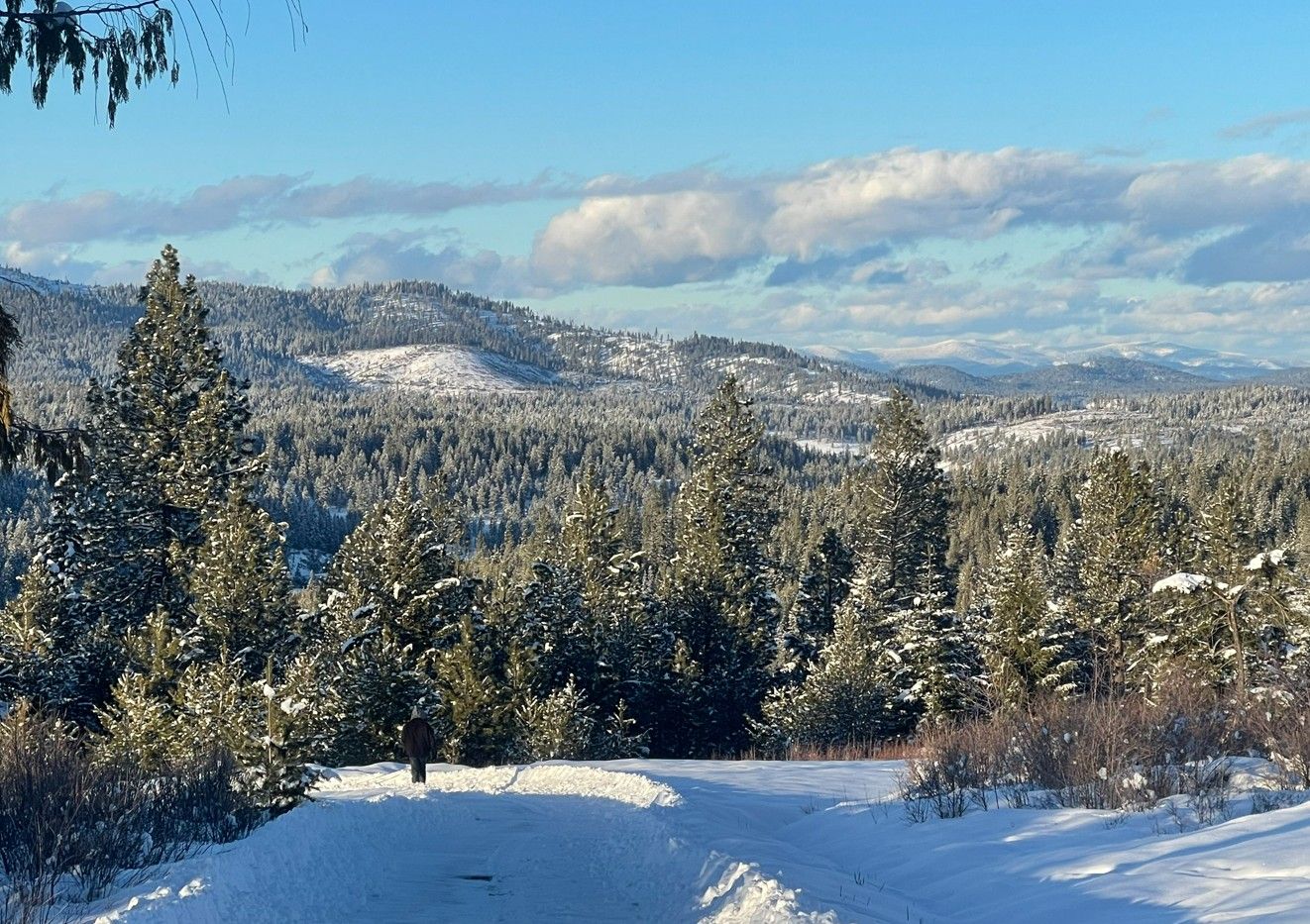 Winter · 2-mile private access road · 3,100 ft
Market Validation
The Comparable Is
Five Miles Away.
The market has already validated the area.
The most relevant comparable sale in the region transacted 5 miles from this property in 2022. It validates both the market appetite for large-acreage North Idaho mountain estates and the price ceiling buyers from established markets are willing to reach.
Primary Comparable Sale
88 Alder Creek Loop Road
Benewah County, Idaho
$1,600,000
Sold 2022 · ~5 Miles from Subject Property
- 80 acres — 40 fewer acres than this property
- ~3,200 sq ft finished residence
- Good mountain views — not panoramic ridgeline
- No documented artesian springs or premium water
- No orchard, garden, or established productive landscape
Benewah Creek Road Advantage
Where This Property Excels — Across Key Measurable Categories Important to Most Buyers
* Alder Creek sold in 2022 with 80 acres, no artesian water, and good — not panoramic — views at $1.6M.
Properties in this corridor have begun to move — driven by the same factors reshaping migration across the country.
What remains rare is not the land. It’s the combination: scale, water, infrastructure, privacy, and position — all aligned in a single offering.
And as more buyers arrive, that alignment becomes harder to find — not easier.
This is a position few properties can hold.
Close enough for access. Far enough for privacy.
Still early enough to matter.
Set within a region where the market is still catching up.
And defined by the kind of alignment buyers rarely find twice.